IRNSS provides signal and navigation data which can be used for RTK solution.
We were able to compute RTK solution based on combined GPS+GLONASS+IRNSS constellation.
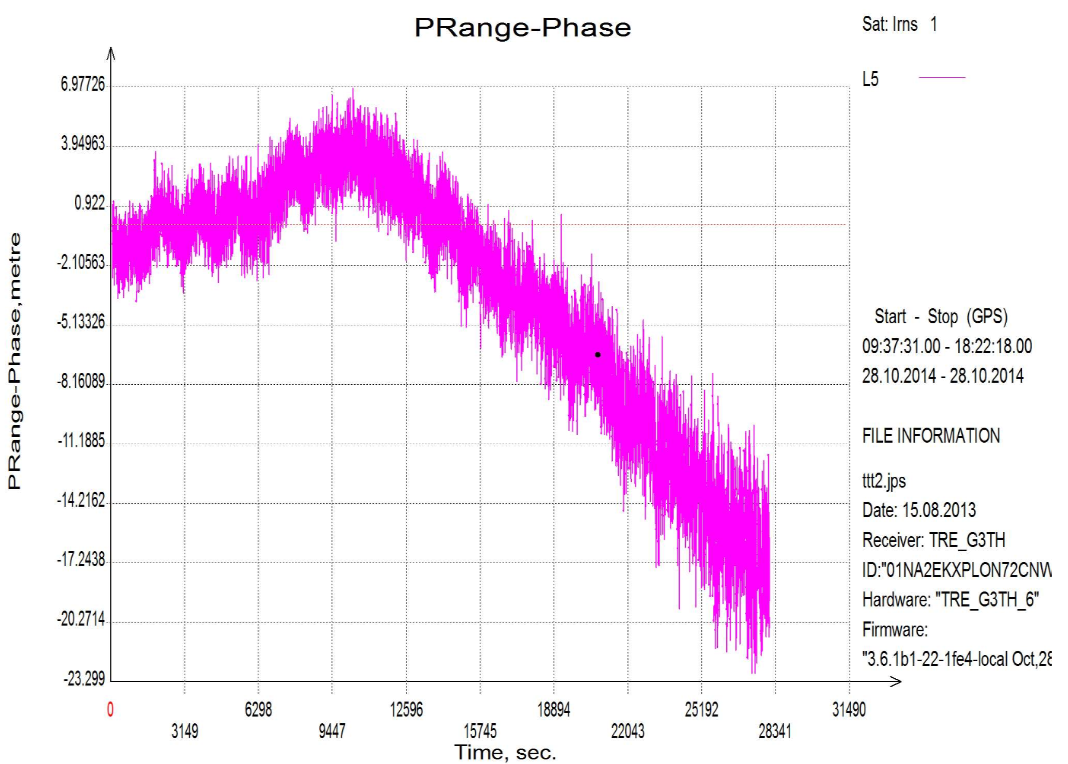
Below there are some graphs, collected in Moscow region:
Number of satellites used in RTK solution.
Computed position.